John
Soltesz
Pemberville,
Ohio
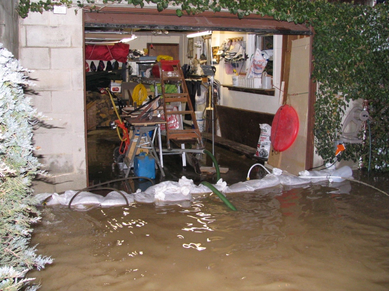
Do to the increase in flooding of my property I installed
instrumentation to monitor the river level.
With this equipment
I can chart the level of the water and determine the need to sandbag
and move
furniture and vehicles to higher ground. I will
try to post this information here for others to use.
At the
moment the actual level readings indicate the depth of water behind
my shed, with zero when
the river starts to reach the banks
(about 6' deep)
When the level is about 40" N. River Rd.
starts to flood 1 mi. south of the Wayne Rd. bridge.
I do not
know how this relates to flood stage at this time, but at about 83"
the river reaches my house.
The flood
of 8-26-1998 level would read about 94" or so, possibly highest
since the 1890's.
River Level 12/21/13 - 12/25/13
of the Middle Branch Portage River, Wood County
1
mile north of US 6 (sensor @ 41 22' 15" N, 83 29' 14" W @ ~
650')
Photo of flood 8:30 AM 2/7/2008
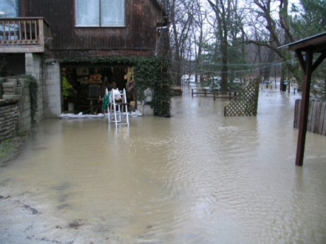
Photo at 4:30 PM 1/13/05 looking at flood
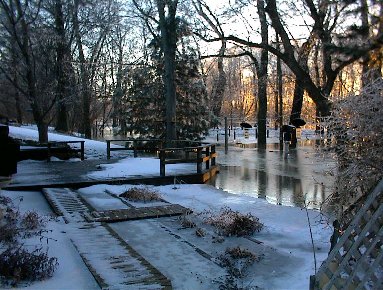
Photo at 7 AM 3/14/03 looking at river under back deck
USGS Data at SR 590 and Portage River